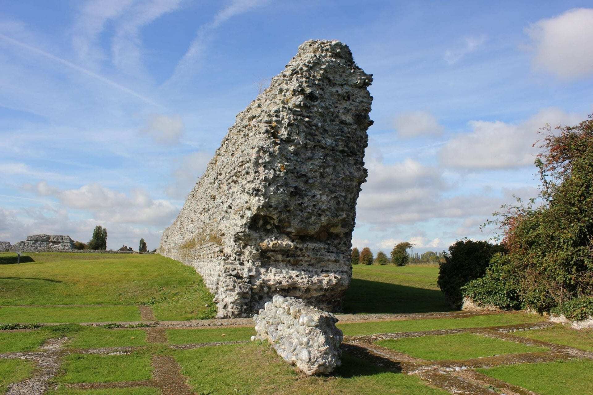
Rutupiae (Richborough Castle) are the ruins of a Roman Saxon Shore Fort located in Richborough, Kent in the United Kingdom.
Although a matter of scholarly debate, historians generally agree that Rutupiae was the landing site for the Claudian invasion of what would become the Roman province of Britannia in AD 43.
At the time, Rutupiae had a large natural harbour that provided suitable anchorage and the discovery of early defensive ditches, dug to protect the anchorage and provide a bridgehead date to the period of the invasion.
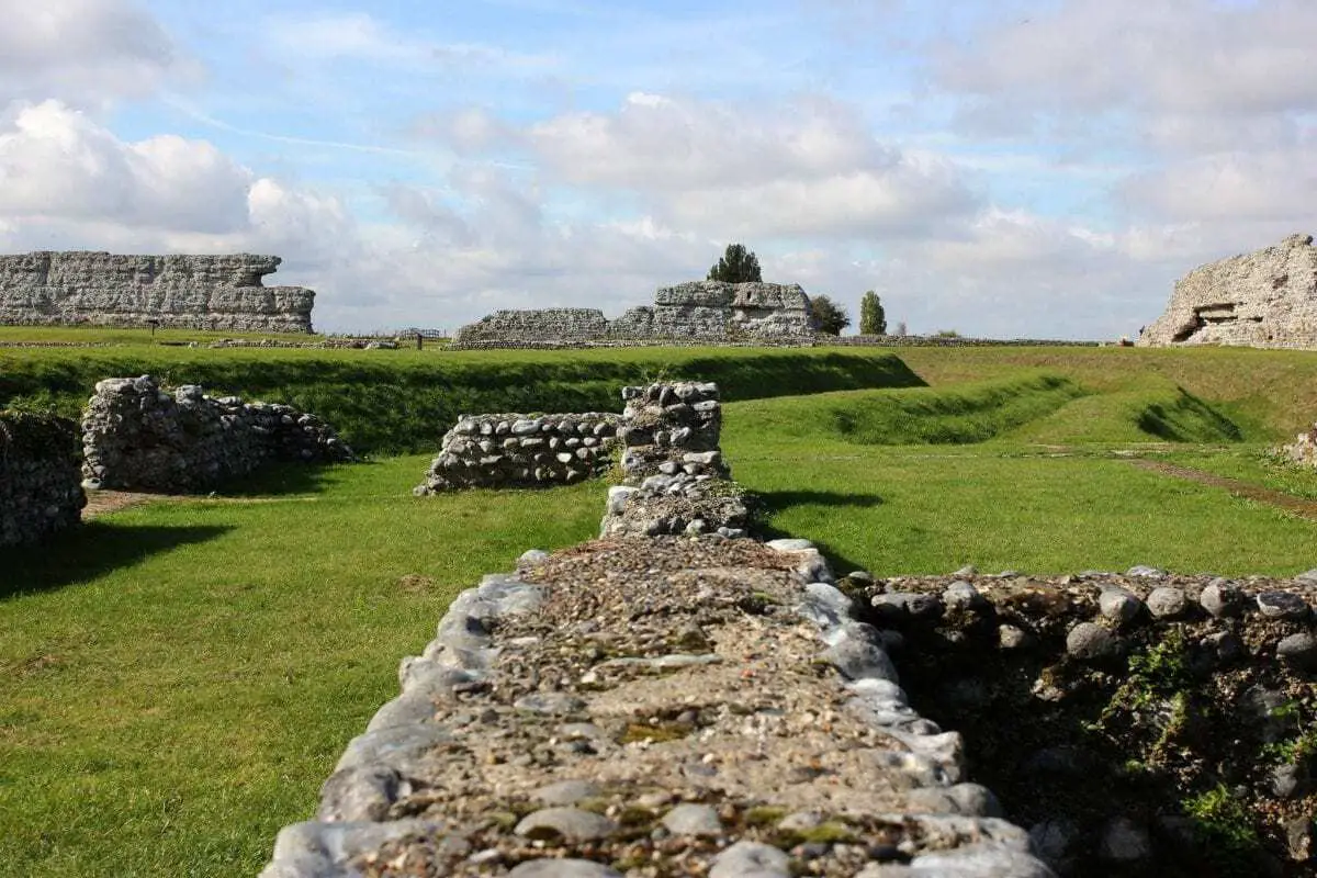
Archaeologists have excavated two deep, parallel V-shaped ditches, with a rampart on the seaward side, running for at least 650 metres (700 yards) north–south in line with the Roman coastline.
Because of its position near the mouth of the Stour, Rutupiae became a major British port under the Romans and the starting point for the road now known as Watling Street. Additional routes connected Durovernum (Canterbury) with further ports at Dubris (Dover), Lemanis (Lympne), and Regulbium (Reculver).
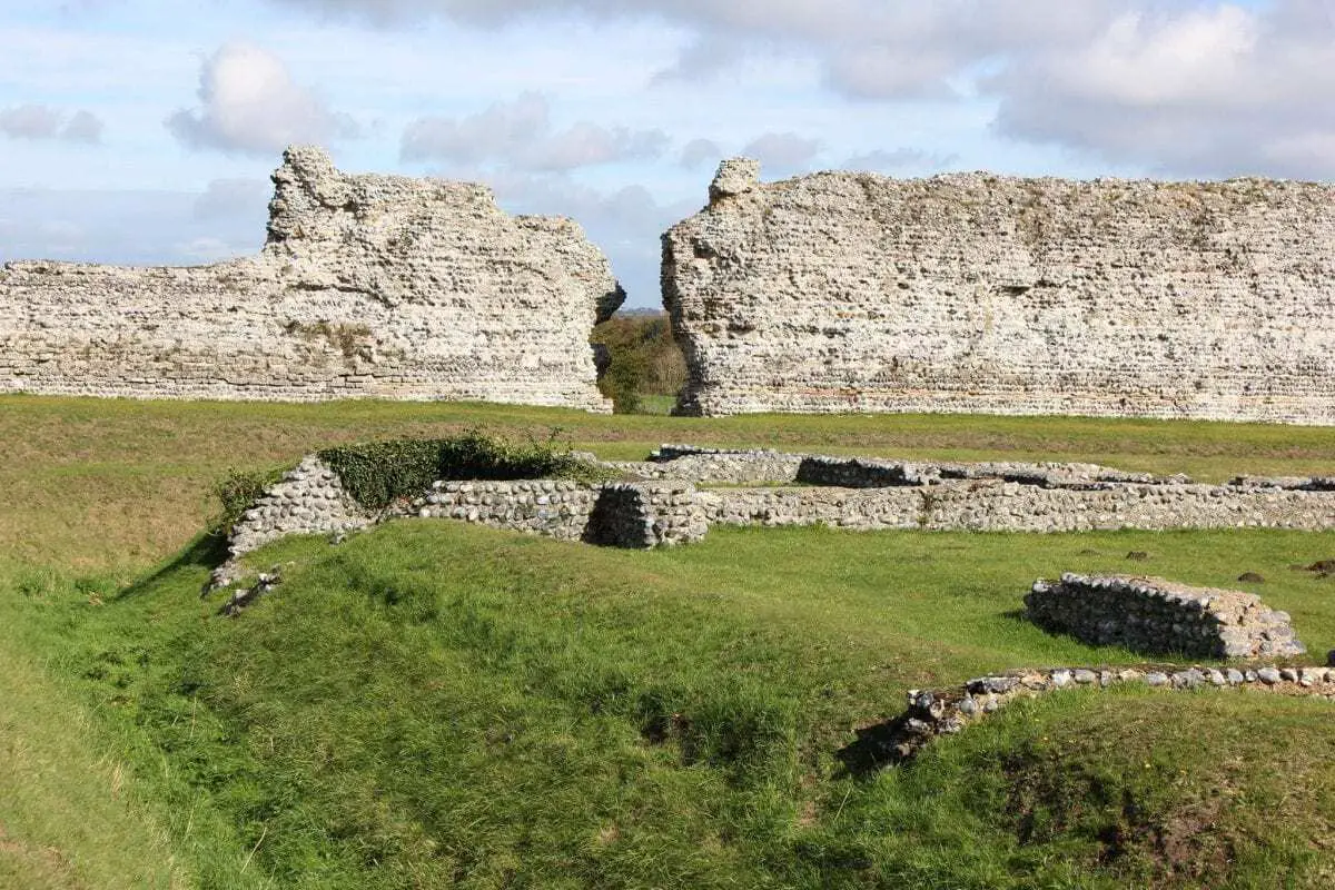
As the frontier pushed further north, Rutupiae expanded into a flourishing commercial town that boasted an amphitheatre accommodating up to 5,000 people, temples and a mansio (guest house for visiting officials with a bathhouse and administration buildings).
What set Rutupiae aside from most Roman towns of the new province, was a large 25-metre-tall arch built in AD85 from imported white marble from Italy after Agricola’s victory at the Battle of Mons Graupius. This monument is believed to symbolise Rutupiae’s status as the “gateway to Britain”, or “accessus Britanniae”.
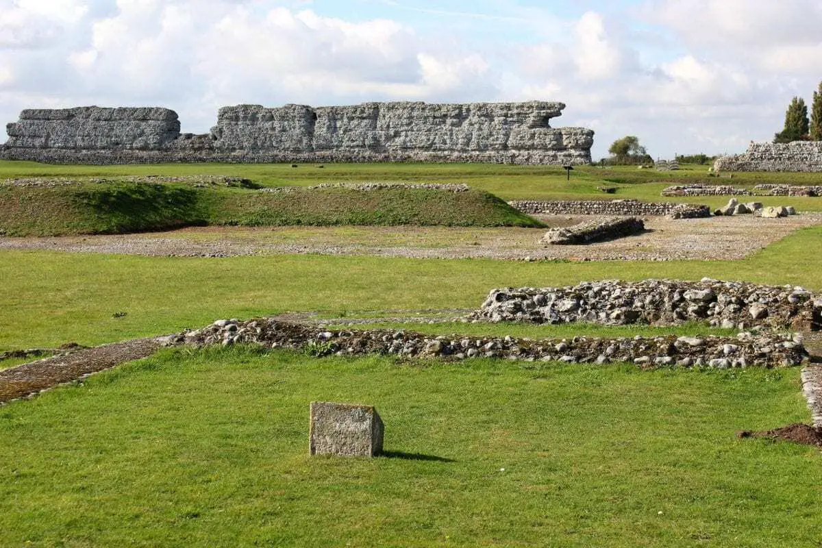
The town continued to prosper for another 200 years until around AD 250 when the situation in Britannia and restraints on the Empire’s borders placed the province’s shores under threat from Saxon and Frankish raiders.
Most of the civilian buildings and monuments were demolished to make way for successive forts known as Saxon Shore Forts. The Saxon Shore forts were a series of forts built by the Romans along the Channel on the English and French sides. Construction of the fort is believed to have started in 277 and completed in 285 during the reign of Carausius.
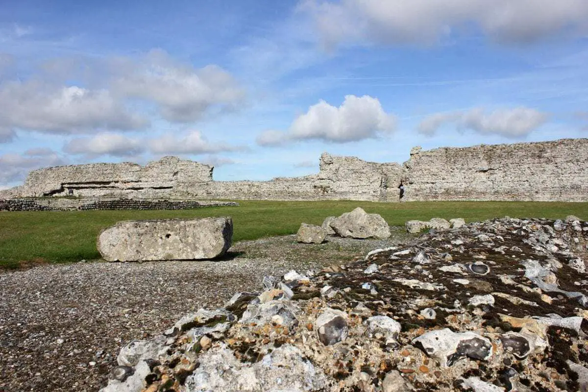
The fort was 5 acres (2.0 ha) in area and was surrounded by massive walls reaching a height of 25 feet (8 m) forming an almost perfect square. Though some stone buildings existed in the interior of the fort, most of its buildings were made of timber. There existed a central rectangular building built of stone, which was probably the principia (headquarters).
During the decline of the Roman Empire, Rutupiae was one of the last sites in the province where Roman coins were still in circulation, making it also one of the last remaining official sites of Roman occupation well into the 5th century AD until it was eventually abandoned.

