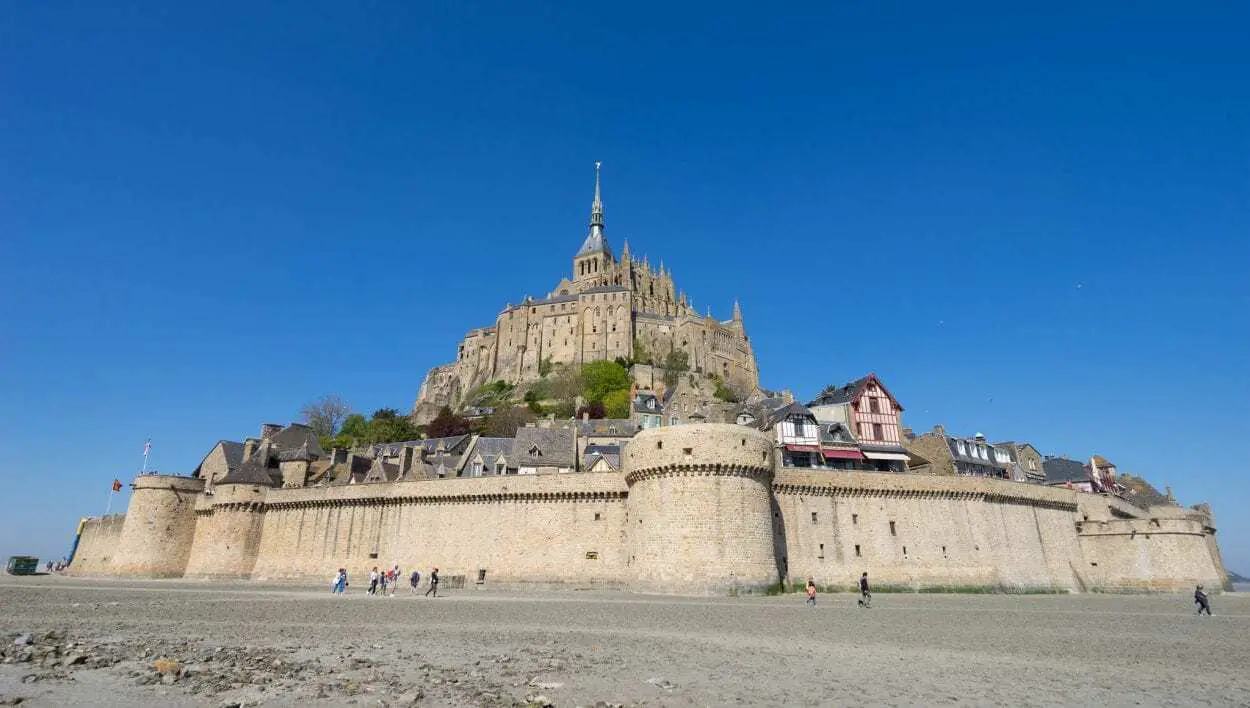
Mont-Saint-Michel is a commune of the Le Mont-Saint-Michel, in the département of Manche, located on the coast of Normandy, France.
The site is surrounded by medieval walls, with a village rising on a leucogranite outcrop which solidified from an underground intrusion of molten magma around 525 million years ago (during the Cambrian period) and is crowned by the abbey of Mont-Saint-Michel.
The island was accessible by a tidal causeway that was traversable during low tides before being converted into a raised causeway in the 19th century.
During the 6th and 7th century AD, the outcrop was used as a fortified stronghold of the Armoricans, a remnant of the Gallo-Roman culture that conducted trans-channel trade until the region was invaded by the Franks.

Mont-Saint-Michel was originally called Mont-Tombe during the 8th century, when the island was part of the Diocese of Avranches and was populated by religious devotees and hermits from the curé of Astériac. St. Aubert, bishop of Avranches, built an oratory on the island after having a vision of the archangel St. Michael, making the island an important religious centre for pilgrims.
In 966, Benedictine monks were installed on the island which marks the founding year of the Mont-Saint-Michel Abbey with a pre-Romanesque church. A later Romanesque church of the abbey was built in 1060 by William de Volpiano (an Italian monastic reformer and founding abbot of numerous abbeys in Burgundy, Italy and Normandy) who was commissioned by Richard II of Normandy.
The Mont was pictured in the Bayeux Tapestry, an embroidered cloth nearly 70 metres in length that depict events leading up to the Norman conquest of England concerning William, Duke of Normandy (William the Conqueror), and Harold Godwinson, later King of England, and culminating in the Battle of Hastings. Harold Godwinson is shown on the tapestry rescuing Norman knights in the tidal flats near the Mont during a battle with Conan II, Duke of Brittany.

William had rewarded the monastic community at Mont Saint-Michel after giving their support to his claim to the English throne over Harold Godwinson. They were granted lands in Cornwall, England, with particular note of a Cornish tidal island similar to Mont Saint-Michel, where a Norman priory was constructed named St Michael’s Mount of Penzance.
In 1204, King Philippe-Auguste of France had campaigned to take control of the fiefs of the Dukes of Normandy that resulted in Guy of Thouars, Duke of Brittany placing the island under siege. Guy of Thouars destroyed the village that encircled the outcrop and caused significant damage to the abbey buildings. In reparations, Philippe-Auguste gave a grant for the construction of a new monastery known as La Merveille (“The Wonder”).
The Monts prestige as a place of pilgrimage began to wane during the Reformation period (a movement within Western Christianity in 16th-century Europe that posed a religious and political challenge to the Catholic Church) and the abbey was closed by 1791.
The abbey buildings were repurposed during the French Revolution into a prison to hold the clerical opponents of the republican regime and earned the nickname of the “bastille des mers” (Bastille of the sea).
The prison was finally closed in 1863 and the abbey was reopened as a centre for Christian worship from 1922.
Header Image Credit : Marian78ro – CC BY-SA 4.0


