

Archaeologist from NIKU are using a revolutionary new GPR robot to explore a Viking Age site in Norway’s Sandefjord municipality.
The robot has been developed as part of a collaboration between AutoAgri, Guideline Geo/MÅLÅ, and NIKU, and uses the I-Series autonomous implement carrier model fitted with the latest high-resolution, multi-channel ground-penetrating radar system.
GPR is a geophysical method that uses radar pulses to image the subsurface. It is a non-intrusive method of surveying archaeological features and patterning beneath the subsurface.
Initial testing of the robot was conducted in Trøndelag Vinnan in Stjørdal municipality, which according to the researchers has demonstrated increased efficiency and provides accurate mapping solutions.
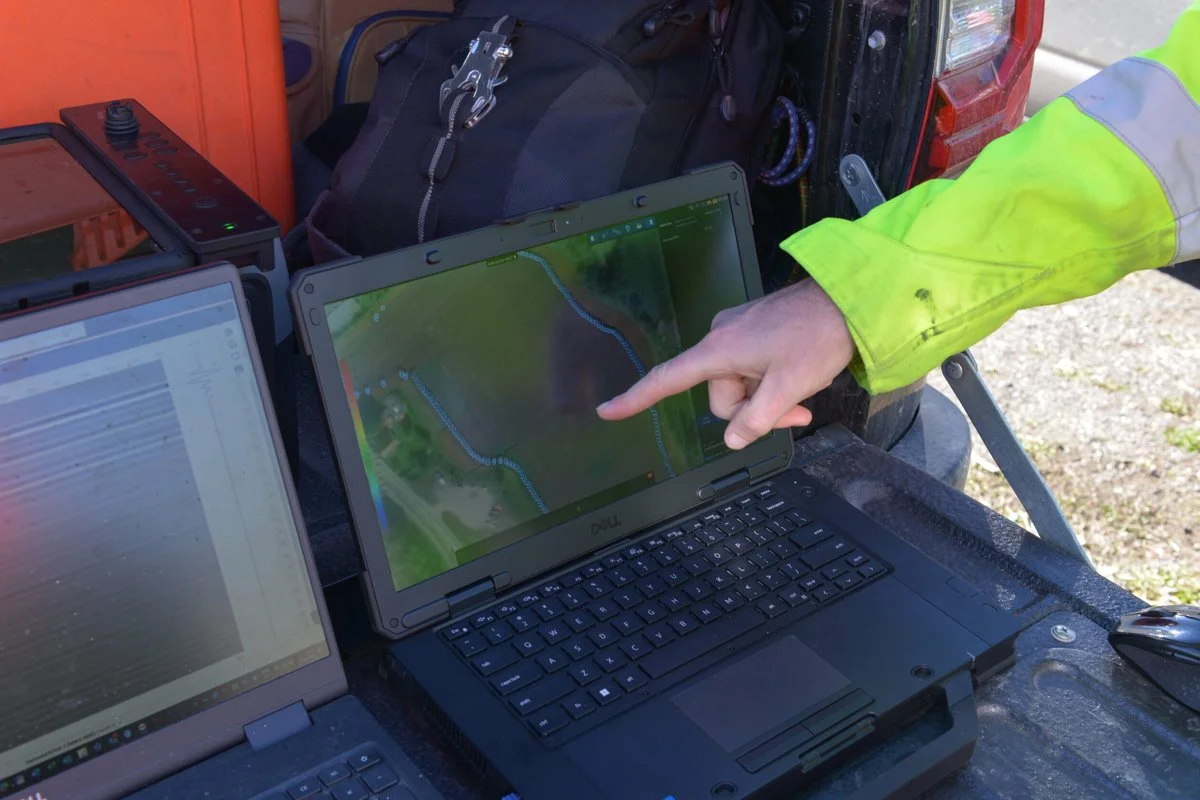
The new robot system has an antenna that produces a much higher resolution than traditional georadar systems, which for the first time can be interpreted in real time.
According to Erich Nau from NIKU, previous systems had to be driven around archaeological sites, however, the new GPR robot only needs a short hour to map the driving route, then the robot does the rest on its own.
The robot is being used as part of a new study of a Viking Age trading post at Heimdalsjordet near the Gokstadhaugen ship burial in Sandefjord.
The non-intrusive approach will provide a detailed picture of the subsurface that previous surveys could have missed, such as traces of longhouses, land plots, roads, wharves and burials.
“This collaboration gives us a unique opportunity to explore and understand our historical landscape with new and advanced technology. We look forward to uncovering new discoveries that can give us valuable insight into our rich cultural heritage,” says Petra Schneidhofer, archaeologist in Vestfold county municipality.
Header Image Credit : Jani Causevic, NIKU
Sources : NIKU


