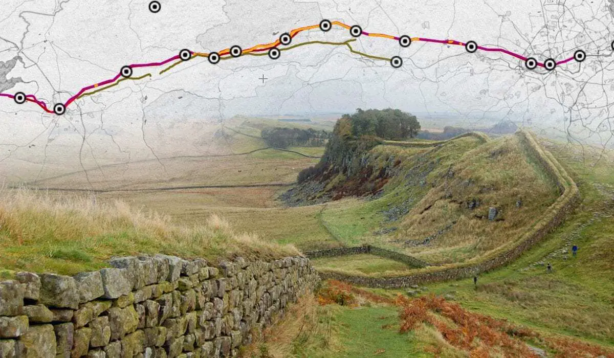
The Roman Forts of Hadrian’s Wall – Interactive Map

Hadrian’s Wall Map – Hadrian’s Wall (Vallum Hadriani) was a defensive fortification built by the Roman Empire to separate the province of Britannia from the northern lands of Caledonia. Construction begun in AD 122 during the reign of Emperor Hadrian and ran from the River Tyne near the North Sea to the Solway Firth on the Irish Sea.

For full-screen version – Please Click Here

Previous articleStudy challenges common view of oxygen scarcity on Earth 2 billion years ago
Next articleA molecule that directs neurons
Mark Milligan
Mark Milligan is multi-award-winning journalist and the Managing Editor at HeritageDaily. His background is in archaeology and computer science, having written over 8,000 articles across several online publications. Mark is a member of the Association of British Science Writers (ABSW), the World Federation of Science Journalists, and in 2023 was the recipient of the British Citizen Award for Education, the BCA Medal of Honour, and the UK Prime Minister's Points of Light Award.