Peter Kent, Minister of Environment and Minister responsible for Parks Canada, today updated the media on this summer’s two-phased Arctic archaeological surveys associated with the 19th-century pursuit of the Northwest Passage: the continuing search for Franklin’s HMS Erebus and HMS Terror and the closer examination of HMS Investigator and related land sites.
“Ruling out another 140 square kilometres in Canada’s vast Arctic waters, along with 25 kilometres of shoreline, the search for the elusive wrecks of the Franklin Expedition is further narrowed,” said Minister Kent. “The Harper Government applauds this team of experts who collectively made great strides in mapping these previously uncharted Arctic waters, in garnering new partnerships to support their efforts and in bringing Canada a step closer to uncovering the mystery of the lost Franklin Expedition.”
The 2011 search effort for Captain John Franklin’s vessels, HMS Erebus and HMS Terror, brought together the expertise of a nationwide team of Canadian researchers and partners including the Canadian Hydrographic Service, the Canadian Coast Guard, the Government of Nunavut, the Canadian Ice Service and the University of Victoria’s Ocean Technology Laboratory. As with past seasons, Parks Canada combined its search efforts with the operations of the Canadian Hydrographic Service, which is responsible for systematically mapping and charting Canada’s Arctic to help ensure safe, navigable waters, with the support of the Canadian Coast Guard.
The survey team also used LiDAR (Light Detection and Ranging), contracted by the Canadian Hydrographic Service, which collects bathymetric data from an aircraft and can cover a significantly larger area than survey methods deployed by watercraft. Primarily used for charting the seabed, this technology can also detect shipwrecks. The LiDAR survey data is not yet available for analysis, but will be carefully reviewed in the coming weeks and months to determine if it reveals any further clues with relation to the Franklin vessels.
“I am very pleased with the progress made during the 2011 Arctic Survey and Franklin Search and the contribution of my department to these efforts,” said Keith Ashfield, Minister of Fisheries and Oceans. “The expertise and equipment provided by the Canadian Hydrographic Service and the Canadian Coast Guard over three years of search-related activity has not only contributed to the body of knowledge about the final resting place of these important historical treasures, but has increased our knowledge of navigable waters through the systematic mapping and charting of this region.”
The Government of Nunavut also took part in the research with shoreline surveys along the northeast portion of the Royal Geographical Islands, along with surveying of an area on the most northerly point of King William Island, known as Cape Felix, where Franklin had set up an observatory.
High-resolution underwater images of HMS Investigator, one of several Royal Navy vessels sent to search for Franklin’s lost vessels, were released for the first time, along with artefacts recovered from the wreck. HMS Investigator was discovered last summer by Parks Canada at Aulavik National Park in the Northwest Territories, where they returned this summer to dive for the first time, making more than 100 dives and gathering spectacular images of the wreck’s final resting place. Parks Canada terrestrial archaeologists were also on site to survey the nearby cache site of Robert McClure, the Captain of HMS Investigator and who was credited with discovering the Northwest Passage, and a rare, ancient Paleoeskimo site that promises to reveal new information on migration patterns in the Arctic.
“Diving the wreck of HMS Investigator for the first time, Parks Canada archaeologists were successful in capturing outstanding images and video of this Arctic gem,” added Minister Kent. “Collectively, the team of both land and underwater archaeologists gathered a tremendous amount of data and research material, including some artefacts, which will undoubtedly reveal unprecedented information on the early inhabitants and European explorers of Canada’s High Arctic. “
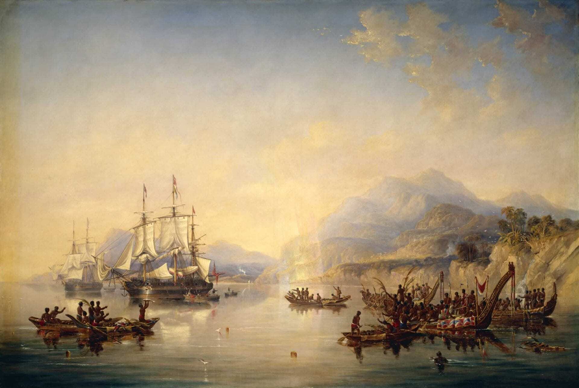
Header Image – James Wilson Carmichael


