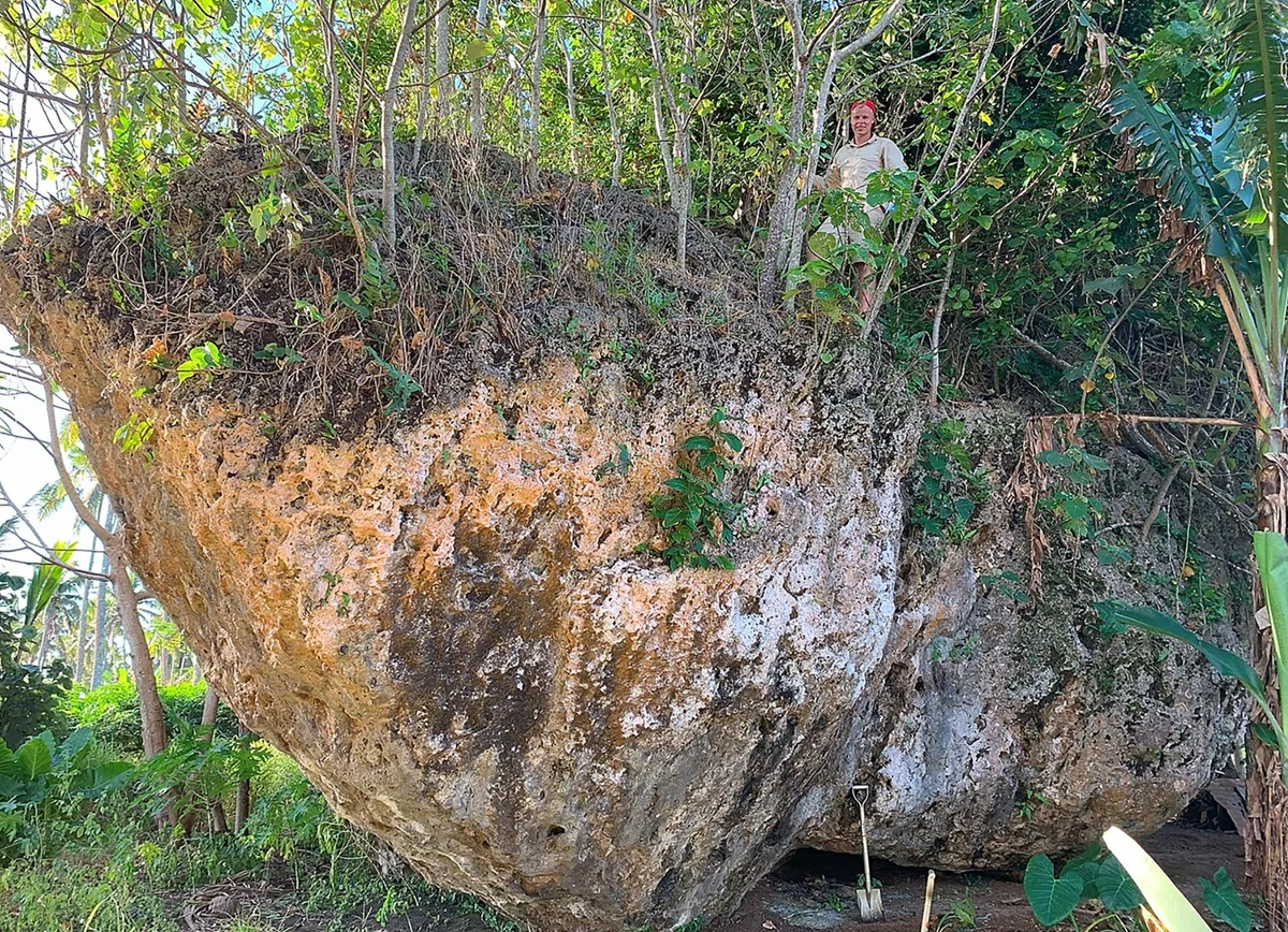
In 2024, researchers from Australia’s University of Queensland discovered a giant 1,200-tonne rock more than 200 metres inland on the island of Tongatapu.
Located in the island’s dense jungle, the rock measures 4 x 12 x 6.7 metres, and stands out as a geological anomaly at the southern coast of Tongatapu.
As part of a new study, researchers have traced the origin of the Maka Lahi Rock to a massive tsunami event that struck the island 7,000 years ago. Through 3D modelling and comparisons of the composition, they identified the rock’s origin to a cliff face located 30 metres above sea level along the island’s shoreline.
When the tsunami hit with wave heights exceeding 50 metres, the Maka Lahi Rock was dislodged from the cliff-edge origin and moved to its resting place 200 metres inland, making it the world’s largest known cliff-top boulder.
“It constitutes the earliest known Holocene tsunami in the Pacific, offering new insights into the long-term history of extreme wave events in the region. The Maka Lahi rock also represents the largest cliff-top boulder and one of the largest coastal boulders globally,” said the study authors.
The study also provides a warning to the disaster planning on Tongatapu, as it demonstrates that it is possible for a tsunami to envelope the island in areas of 30–40 metre elevation, requiring future considerations to be given to the island’s tsunami evacuation maps.
Co-author Dr. Annie Lau, a coastal geomorphologist, emphasised Tonga’s vulnerability to tsunamis triggered by seismic activity along the Tofua Ridge and Tonga Trench. “Understanding past extreme events is critical for hazard preparation and risk assessment now and in the future.”
Header Image Credit : University of Queensland
Sources : University of Queensland


