Antillia, also known as the “Isle of Seven Cities”, is a phantom island in the Antillia Group, reputed to be in the Atlantic Ocean west of Portugal and Spain.
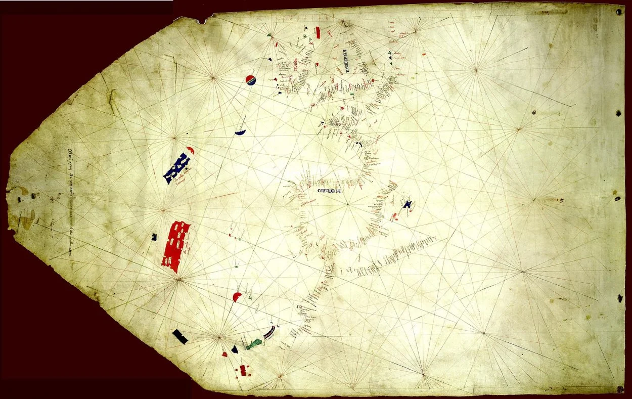
The Antillia Group first appears in the 15th century Portolan Chart, believed to have been authored by the Venetian cartographer, Zuane Pizzigano.
The chart was discovered among thousands of manuscripts in the library of the noted collector Sir Thomas Phillipps in 1953, now residing in the James Ford Bell Library at the University of Minnesota in Minneapolis
The authorship of the Portolan Chart is based on the map’s legend, which reads: Mccccxxiiij adi xxij auosto Zuane pizzi….. afato questa carta (translated as: “1424 on 22 August, Zuane Pizzi….. made this map”).

The chart depicts western Europe, northwest Africa, and a large swathe of the north Atlantic Ocean. Interestingly, the chart also shows the Madeira Islands which were discovered by Portuguese sailors in 1419, and what appears to be the Azores archipelago which wouldn’t be discovered until 1431 or possibly 1427.
The name of Antillia is believed to derive from the Portuguese “Ante-Ilha” (“Fore-Island”, “Island of the Other”, or “Opposite Island”). This may be in reference to the islands being charted opposite mainland Portugal, depicted as rectangular land masses that mirror the Kingdom of Portugal.
According to an old Iberian legend, Antillia was settled when seven Visigothic bishops left the continent with their flock, following the Muslim conquest of Hispania in 714. Pizzigano, as many others after him, attempted to depict and name the seven settlements on the island; thus it is also known as the “Isle of Seven Cities”
The main island of Antillia is shown in red with the inscription ista ixola dixemo antilia (“this island is called antillia”). To the north is the blue Satanazes island (the “Isle of Devils”), to the west is the blue companion island of Ymana (the “Isle of Mam), and capping Satanazes is the umbrella shaped island of Saya. Collectively the islands are referred to as the Antillia Group, or according to later cartographers the insulae de novo rep(er)te (“islands newly reported”).
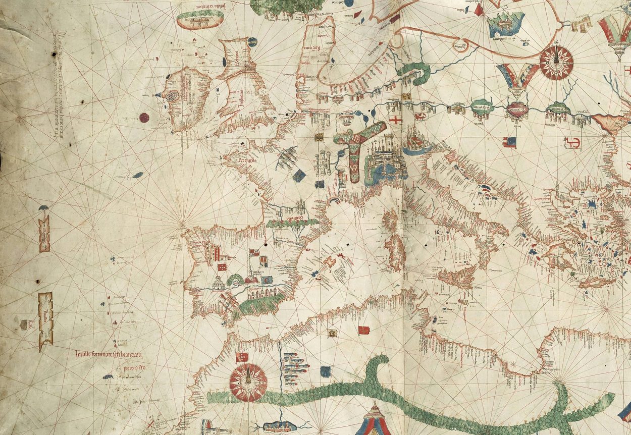
Using the Portolan Chart as the source, many cartographers continued to include Antillia throughout the 15th century, notably: Battista Beccario (1435), Andrea Bianco (1436), Grazioso Benincasa (1462, 1470, 1482), and the 1492 Erdapfel globe of Martin Behaim.
The island is also mentioned in a royal letter of King Afonso V of Portugal (dated 10th of November 1475), where he grants the knight Fernão Teles “the Seven Cities and any other populated islands” he might find in the western Atlantic Ocean.
After 1492, when the north Atlantic Ocean began to be routinely sailed and became more accurately mapped, depictions of Antillia gradually disappeared from cartographers’ maps. The legend of the Seven Cities would go on to be attributed to Central and North America, with Antillia arguably becoming the rooted myth behind the legend of Cibola.
Header Image – Canepa’s 1489 map, featuring Antillia (on the west) – Public Domain


