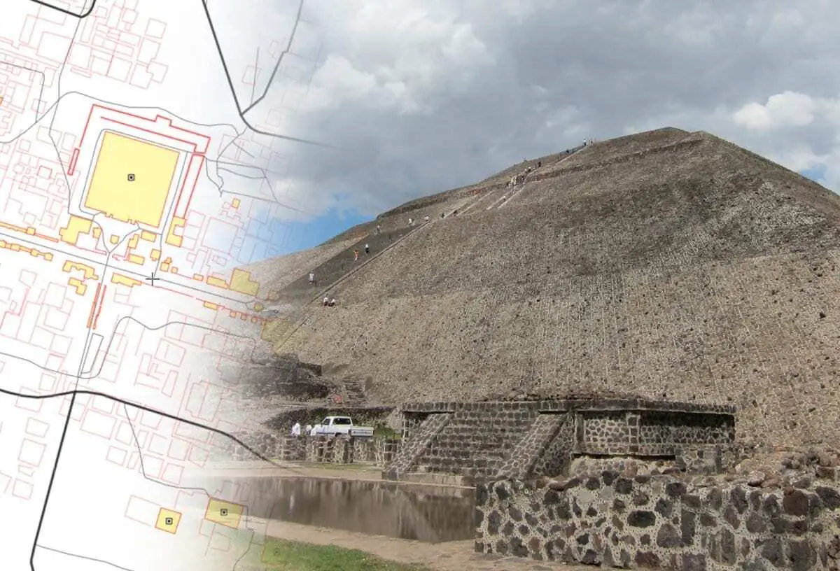
Teotihuacan is an ancient Mesoamerican city located 40km from modern-day Mexico City.
Construction began around 100 BC, with continuous habitation lasting into the 7th and 8th centuries AD.
The pre-Columbian city had a population estimated at around 125,000 and a large metropolis consisting of dwellings, temples, pyramids and ceremonial spaces that covered an area of 8 square miles.
Teotihuacan is architecturally and anthropologically significant for its complex, multi-family residential compounds, the Avenue of the Dead, the vibrant murals and the giant Mesoamerican pyramids that are comparable in size to the Pyramids of the Giza plateau in Egypt.
Although it is a subject of debate whether Teotihuacan was the center of a state empire, its influence throughout Mesoamerica is well documented; evidence of Teotihuacano presence can be seen at numerous sites in Veracruz and the Maya region.
The later Aztecs saw these magnificent ruins and claimed a common ancestry with the Teotihuacanos, modifying and adopting aspects of their culture. The ethnicity of the inhabitants of Teotihuacan is the subject of debate. Possible candidates are the Nahua, Otomi or Totonac ethnic groups.
You can select full-screen mode on desktop by clicking on the “X” symbol beneath the map. For full screen on tablet or mobile. Click Here

