
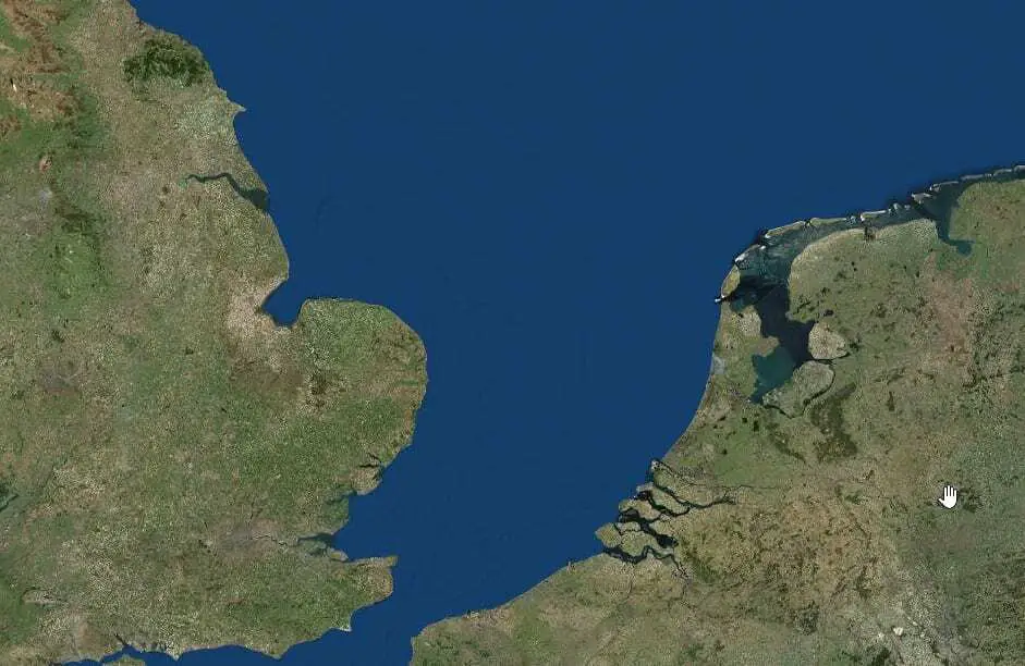
Marine experts join archaeologists in an expedition to find the lost prehistoric settlement of the Brown Bank.
After a successful expedition in 2018, the second voyage in search of prehistoric landscapes and submerged settlements within the Brown Bank area of the southern North Sea is underway.
Scientists from Belgium and the UK will combine acoustic techniques and physical sampling of the seabed to unravel the topography and history of these landscapes and their inhabitants.
The May 2019 expedition led by Dr. Tine Missiaen from the Flanders Marine Institute (VLIZ) involves an international team of scientists from Belgium (Ghent University, VLIZ) and the UK (University of Bradford). The voyage on board the Belgian research vessel “RV Belgica” takes place within the collaborative Belgian-UK-Dutch research project “Deep History: Revealing the palaeo-landscape of the southern North Sea” which is aimed at reconstructing the Quaternary history (roughly spanning the last 500.000 years) and human occupation of the wider Brown Bank area.
The project complements the Bradford-led Lost Frontiers project, in which archaeologists are mapping the prehistoric North Sea landscape known as Doggerland, funded by the European Research Council (ERC).
Until sea levels rose at the end of the last Ice Age, between 8-10,000 years ago, an area of land connected Great Britain to Scandinavia and the continent. The Lost Frontiers team has identified thousands of kilometres of plains, hills, marshlands and river valleys – but despite this, evidence of human activity has remained elusive.
Archaeologists have long suspected that the southern North Sea plain – right in the heart of Doggerland – may have been home to thousands of people. Chance finds by trawling fishermen over many decades support this theory. A concentration of archaeological material, including worked bone, stone and human remains, has been found within the area around the Brown Bank, an elongated, 30-kilometre long sand ridge roughly 100 km due east from Great Yarmouth and 80 km west of the Dutch coast. The quantities of material suggest the presence of a prehistoric settlement.
In 2018 teams from the Flanders Marine Institute, University of Bradford, Ghent University and the Dutch Geological Service joined forces to carry out detailed geophysical and geotechnical surveys of the area to identify prehistoric land surfaces, including river valleys and former lakes, and to extract shallow sediment cores to look for evidence of past activity.
Thanks to the simultaneous use of different seismic sources an uninterrupted image of the subbottom was obtained with unprecedented detail. Combined with the study of sediment cores this allowed to refine the search to areas on the Brown Banks where the team believe they reach a preserved land surface more than 8000 years old.
The May 2019 expedition will focus on detailed investigations in these areas, deploying VLIZ’s novel multitransducer echosounder, which uses sonar technology to obtain images of the sub bottom with the highest possible resolution, and the collection of larger samples of sediment as well as video footage from the seafloor using VLIZ’s dedicated videoframe. The team will also be visiting another area, known as the “Southern River”, a major prehistoric river valley flowing across a submerged headland off the East Anglian coast. Previously surveyed by Lost Frontiers, the team believes that the estuary of the river, which may also have been flanked by white chalk cliffs, provides another prime area for prehistoric settlement. The detailed survey of this area during this expedition will be the first to assess its archaeological potential.
Professor Vincent Gaffney, University of Bradford, said: “In 2018 the team demonstrated that we can find prehistoric land surfaces on the Brown Banks that date from the Mesolithic period. This provides the exciting prospect to return and recover larger volumes of sediment from those land surfaces, and find out what evidence they may contain of human settlement.”
Dr. Tine Missiaen, Flanders Marine Institute, said: “The combined use of different state-of-the-art acoustic sources provides a major step forward in the identification and reconstruction of prehistoric land surfaces that now lie buried below the seafloor. With the detailed investigations that will be carried out in May 2019 we hope to further unravel the unique history of these landscapes and their inhabitants.”
Dr. Maikel De Clercq, Ghent University, said: “The data from the 2018 campaign revealed the presence of drowned landscapes related to ice ages (e.g. river valleys) as well as more temperate climate intervals (e.g. coastlines) comparable to today. It is both intriguing and challenging to be able to reconstruct these landscapes in unprecedented detail. Linking these landscapes to human migration patterns would be the apogee to this research project.”
Header Image – Early Holocene landscape features mapped by the North Sea Palaeolandscapes Project