
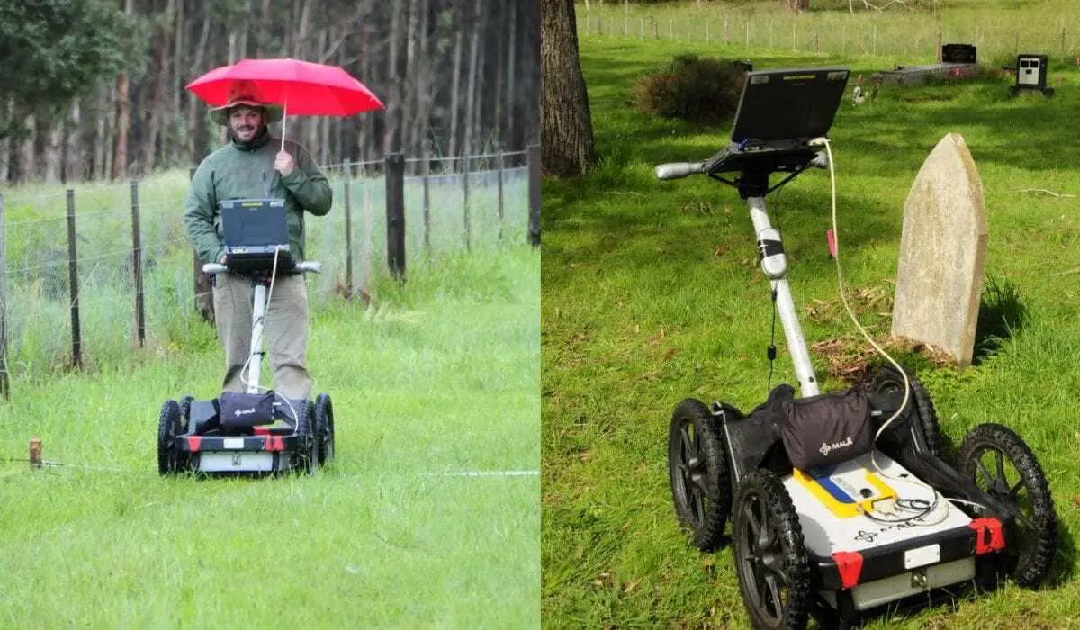
Flinders University archaeologists are using cutting edge subsurface imaging technology to help assist community groups map unmarked graves and manage their cultural heritage.
“This is a huge issue, particularly for rural communities,” says Dr Ian Moffat, Senior Research Fellow in Archaeological Sciences at Flinders University.
“Using geophysics provides a non-invasive and culturally appropriate way to map unmarked grave sites.”
Dr Moffat leads a group which recently published the results of using Ground Penetrating Radar (GPR) and GPS surveys to non-invasively map the location of unmarked graves within the Lake Condah Mission Cemetery in Victoria, a state in Australia.
Established in 1869, this cemetery remains an important site for the Gunditjmara community, because while it has only 26 marked graves, it is anecdotally thought to contain more than 100 graves.
The GPR survey identified an additional 14 probable unmarked graves as well as 49 other areas that may contain one or more unmarked burials.
“The great leap forward with this particular study was the close partnership between the Gunditj Mirring Traditional Owners Corporation and the researchers to achieve such a positive outcome,” says Dr Moffat.
“Many Australian Indigenous communities are anxious not to disturb graves, so this survey provides useful information to assist the Gunditj Mirring Traditional Owners Corporation in planning future burials within this cemetery by identifying large areas which are free of graves.”
Damein Bell, CEO of Gunditj Mirring says, “Our Elders informed the researchers of their knowledge of where the known graves were and our community now have marked the unknown gravesites of our ancestors”.
GPR is a geophysical technique that uses high frequency electromagnetic waves to image the subsurface, making it ideal for mapping changes in lithology or soil structure.
Extensive subsurface disturbance present at the Lake Condah Mission Cemetery and the presence of many tree roots made the effective interpretation of GPR data difficult, but it was still possible to delineate areas where no unmarked graves are present.
“This is an important outcome for managing the cultural heritage of the cemetery because it identifies areas where new graves can be emplaced in a culturally appropriate fashion,” says Dr Moffat.
“This demonstrates the utility of GPR as a means of effectively managing heritage sites containing unmarked graves, even when substantial subsurface disturbance is present.”
Dr Moffat believes the technique of using GPR and GPS readings will now have a much wider application across pioneer and heritage sites throughout Australia and will be undertaking surveys of other cemeteries at Lake Wangary, Berri and Kingscote over coming weeks.
Flinders University
Header Image Credit – Flinders University