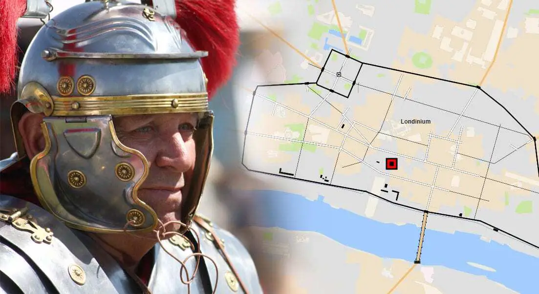
“Roman Britain – Street Map” is a mapping tool created by HeritageDaily that enables the user to view the street layouts of most major Roman settlements of the period, in addition to the main road networks that connected them.
Roman Britain or Britannia refers to the areas of the frontier province which were under Roman control from AD 43 to roughly AD 410. During this period, the borders on the northern frontiers changed many times as the Romans attempted to push the Empires boundaries deep into Caledonia.
By the end of the fourth century, Roman Britain had an estimated population of 3.6 million people, of whom 125,000 consisted of the Roman army and their families and dependents. Many of Britain’s major towns and cities we know today such as London (Londinium), Manchester (Mamucium) and York (Eboracum), were founded by the Romans.
You can select full screen mode on desktop by clicking on the “X” symbol beneath the map. For full screen on tablet or mobile please: Click Here
Please note, mapping data is based off available opensource information as of 2019.
Header Image Credit : Rennett Stowe

