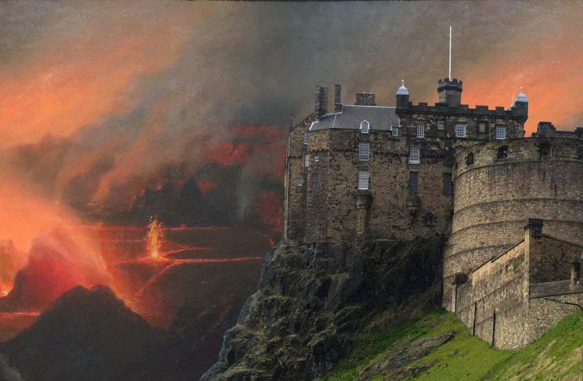
There are no active volcanoes in the UK today, but the UK’s volcanic past tells a story spanning hundreds of millions of years.
The geological history shows a rich variety of landscapes across the constituent countries of England, Wales, Scotland & Northern Ireland, represented by rocks of almost all geological ages from the Archaean onwards.
Active regions of volcanism are evident across the Lake District, Snowdonia, Northern Ireland, Southern Scotland, Western Scotland and even parts of Dartmoor.
Further geological phenomena are located in parts of central England and along the sills of Northumberland.
The last active volcanoes erupted about 60 mya, by this time the UK was moving away from the tectonic boundaries and geologically active areas.
The volcanic map is comprised of designated volcanoes or volcanic plugs:
- A volcano is a rupture in the crust of a planetary-mass object, such as Earth, that allows hot lava, volcanic ash, and gases to escape from a magma chamber below the surface.
- A volcanic plug, also called a volcanic neck or lava neck, is a volcanic object created when magma hardens within a vent on an active volcano.
You can select full-screen mode on desktop by clicking on the “X” symbol beneath the map. For full screen on tablet or mobile, Click Here

