
Researchers from the universities of Cambridge and Southampton have discovered a new section of the boundary wall of the ancient Roman port of Ostia, proving the city was much larger than previously estimated.
A team, led by Cambridge’s Professor Martin Millett and Professor Simon Keay (Southampton), has been conducting a survey of an area of land lying between Ostia and another Roman port called Portus – both about thirty miles from Rome. The work has been undertaken as part of the Southampton led ‘Portus Project’, in collaboration with the British School at Rome and the Soprintendenza Speciale per I Beni Archeologici di Roma.
Millett said: “The results of our work completely transform our understanding of one of the key cities of the Roman Empire. The enormous scale of the newly discovered warehouses will require a rethinking about the scale of commerce passing through the port. The results also illustrate yet again the power of contemporary survey methods in providing important new evidence about even very well-known archaeological sites.”

Previously, scholars thought that the Tiber formed the northern edge of Ostia, but this new research, using geophysical survey techniques to examine the site, has shown that Ostia’s city wall also continued on the other side of the river. The researchers have shown this newly discovered area enclosed three huge, previously unknown warehouses – the largest of which was the size of a football pitch.
Director of the Portus Project, Professor Simon Keay, said: “Our research not only increases the known area of the ancient city, but it also shows that the Tiber bisected Ostia, rather than defining its northern side.The presence of the warehouses along the northern bank of the river provides us with further evidence for the commercial activities that took place there in the first two centuries.”
The researchers have been using an established technique known as magnetometry, which involves systematically and rapidly scanning the landscape with small handheld instruments in order to identify localised magnetic anomalies relating to buried ancient structures. These are then mapped out with specialised computer software, providing images similar to aerial photographs, which can be interpreted by archaeologists.
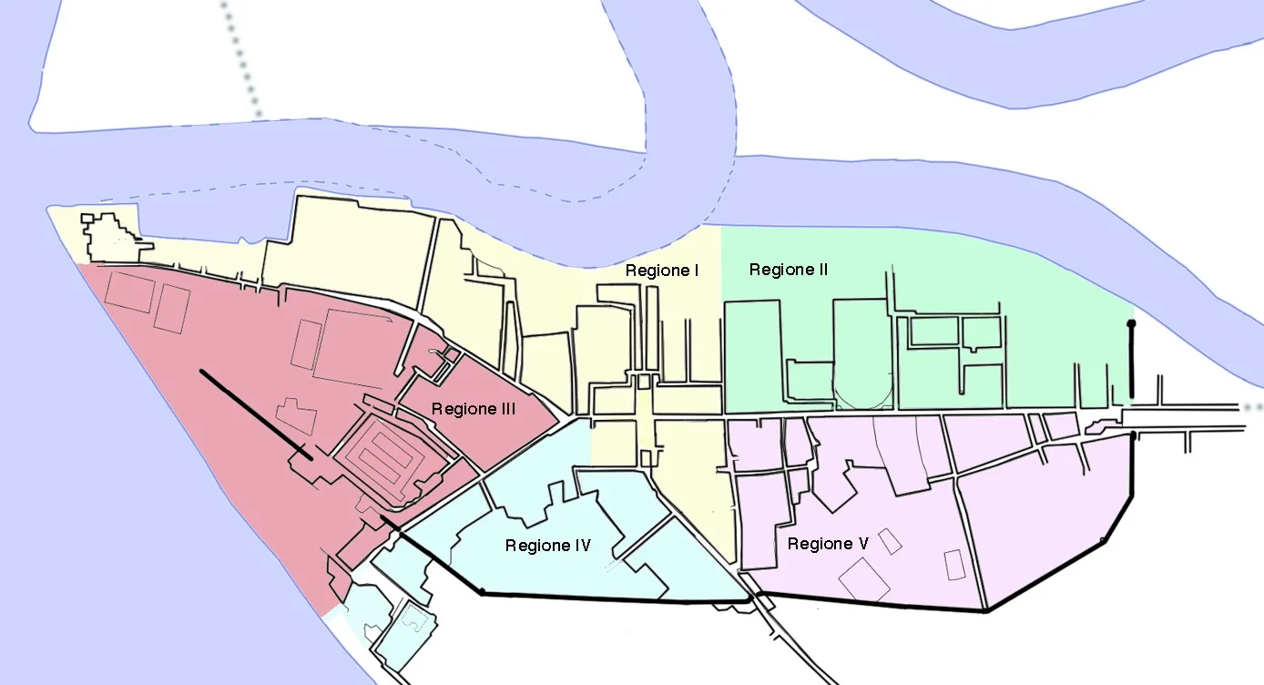
In antiquity, the landscape in this recent study was known as the Isola Sacra and was surrounded by a major canal to the north, the river Tiber to the east and south, and the Tyrrhenian sea to the west. At the southernmost side of the Isola Sacra, the geophysical survey revealed very clear evidence for the town wall of Roman Ostia, interspersed by large towers several metres thick, and running east to west for about half a kilometre. In an area close by, known to archaeologists as the Trastevere Ostiense, the team also found very clear evidence for at least four major buildings.
Professor Keay added: “Three of these buildings were probably warehouses that are similar in layout to those that have been previously excavated at Ostia itself, however the newly discovered buildings seem to be much larger. In addition, there is a massive 142 metre by 110 metre fourth building – composed of rows of columns running from north to south, but whose function is unknown.
“Our results are of major importance for our understanding of Roman Ostia and the discoveries will lead to a major re-think of the topography of one of the iconic Roman cities in the Mediterranean.”
For more information about the Portus Project, visit www.portusproject.org
Header Image : insulae of Ostia Antica : WikiPedia
Contributing Source : University of Cambridge


